LTS-BikePlan is out
Our paper "LTS-BikePlan: A Data-Driven Tool for Enhancing Cycling Infrastructure and Safety" is now published in the Journal of Urban Technology. It's a data-driven tool for evaluating and improving cycling infrastructure, grown out of open data and my master's thesis work.
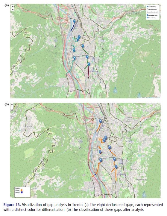
The code is on GitHub, for anyone who wants to poke around. In short: it's a Python CLI pipeline that pulls a city's street network straight from OpenStreetMap, layers a DEM on top to get slope, and classifies every edge and node by Level of Traffic Stress (LTS), basically a proxy for "would a normal person actually feel safe cycling here". Run something like ltsbikeplan run-full --city "Bolzano, Italy" --with-report and it spits out stress maps, a choropleth, gap/cluster/network analysis, and even an accident overlay if you feed it the data, all wrapped up in a Markdown/HTML report.
Under the hood it leans on geopandas, osmnx, networkx and rasterio for the geospatial heavy lifting and scikit-learn for the analysis bits, and it's released under the WTFPL, about as permissive as licenses get.
Let me know what you think about it!